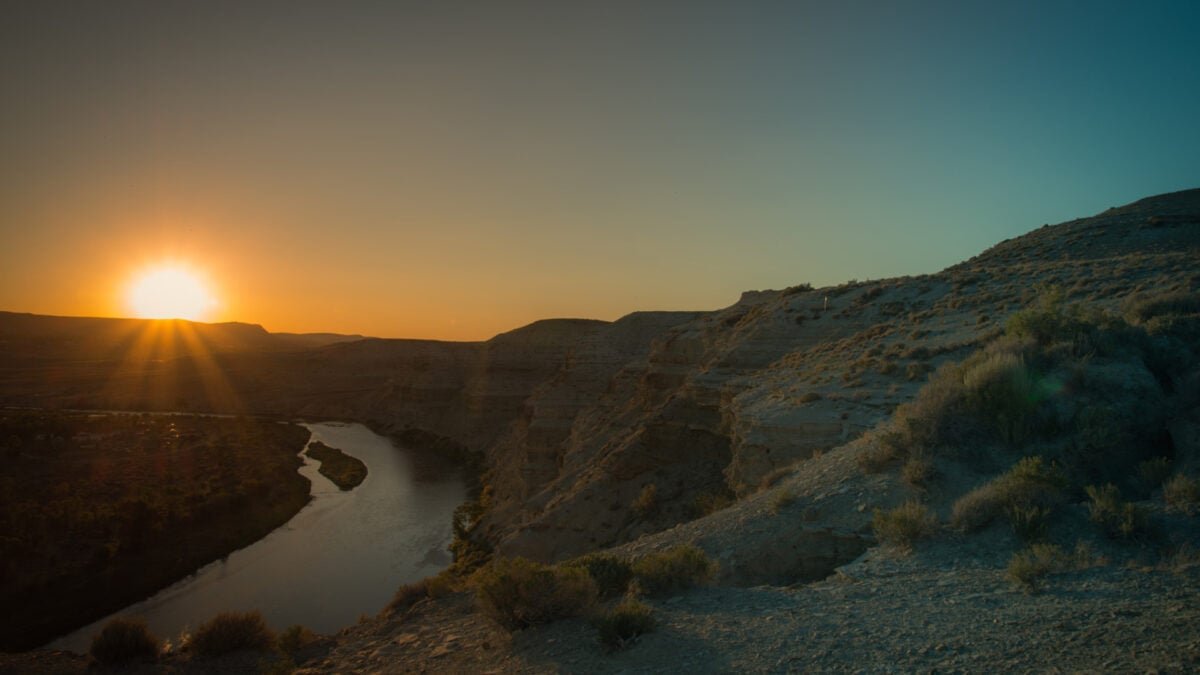

The Green River in the Western United States seems to be following the path of most resistance to reach the Colorado River. New research, however, reveals that there may be help from a hidden phenomenon.
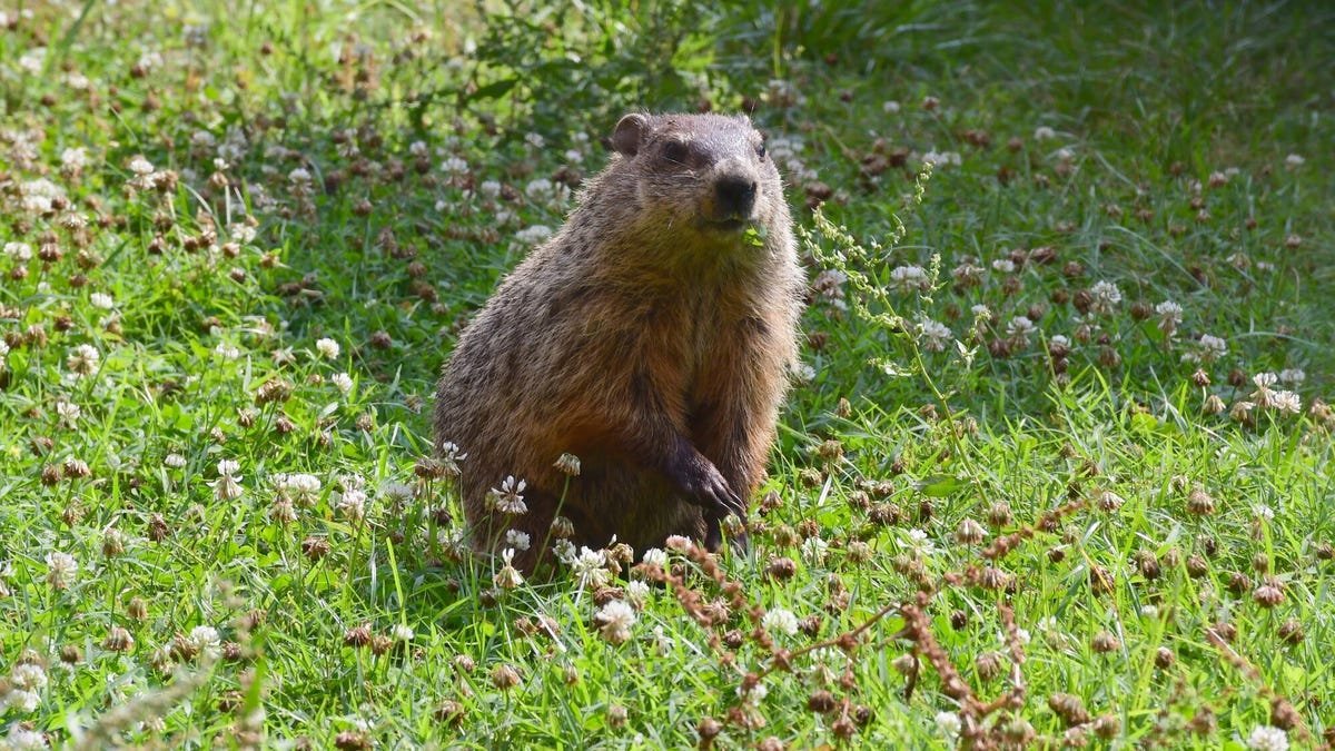
The Green River—the largest tributary of the Colorado River—represents an enduring geological mystery. How did it carve through Utah’s Uinta Mountains instead of going around them? At one point in its history, the Green River appears to have flowed uphill, climbing up into the towering Uinta Mountains instead of meandering around them. This defiance of basic topographic logic—not to mention the laws of physics—has puzzled geologists for years.
If you’re thinking that maybe the river got there first, that’s not the answer; the route of the Green River is not even eight million years old, while the mountains are 50 million years old. Researchers believe they have the answer—a geological dynamic that may be behind other mysteries, too.
“For about 150 years now, geologists have been debating exactly how the rivers merged, which is a particularly challenging question for a tectonically inactive area where major geological events are rare,” Adam Smith, a researcher at the School of Geographical & Earth Sciences at the University of Glasgow, said at a university. statement. “We think we’ve got enough evidence to show that lithospheric drip, which is still a relatively new concept in geology, is responsible for pulling the land down enough to make rivers connect and converge.”
Drop by drop
Dense material can accumulate under the crust, the outermost layer of the Earth. When this accumulation grows heavy enough, it drips—hence the name, “lithospheric drips”—into the mantle, the layer beneath the crust. The phenomenon can pull mountains, causing them to sink, until the “drop” effectively “drops” and it returns to normal. This recovery creates a characteristic bullseye shape in the topography.
Smith is the lead author of a study published today in the Journal of Geophysical Research: Earth Surface, where he and his colleagues used seismic imaging and data modeling. Seismic imaging allows researchers to understand the Earth’s underground composition, and previous seismic imaging studies revealed an anomaly—probably a detached drip—between 31 and 62 miles wide (50 and 100 kilometers) at a depth of about 124 miles (200 kilometers). Its estimated depth and the calculated speed of the leak suggest that it separated between two and five million years ago.
This is consistent with preexisting estimates of when the river likely carved through the Uinta Mountains—creating a canyon that is now 2,297 feet (700 meters) deep—and joined the Colorado system. In other words, the Green River was probably able to carve its modern-day route through the mountains when it was lowered by lithospheric dripping.
“The merging of the Green and Colorado Rivers millions of years ago changed the continental divide in North America,” Smith explained. “It forms the line that separates the rivers that flow into the Pacific from those that flow into the Atlantic, and creates new habitat boundaries for wild animals that influence their evolution. This is a very large area of the continent.”
To be clear, the river never flows uphill. As the new paper notes, lithospheric subsidence temporarily pulls the mountains down, allowing the river to continue flowing down its course. To geologists looking at it today, it gives the appearance of a river flowing upward. In fact, the river carved its path as the land was temporarily lowered, and the mountains later returned and rose around an already established river canyon.
Missing material
The team found and measured the shape of the bullseye surrounding the mountains, which was revealed through computer modeling. In addition, they discovered that the crust under the Uinta Mountains is narrower than the researchers expected for its elevation, which further suggests that a thick part of the lower crust has leaked. The increase in elevation they think this leaking material causes coincides with the rise of river networks which leads them to conclude.
“The evidence we have collected strongly contradicts the idea that the river preceded the mountains, or that the sediment deposits could have built up enough for the river to cross that distance, or that erosion from the south of the mountains got the Green River,” concluded Smith.
In which he added: “We hope that this paper will help resolve a long-standing debate about one of the most important river systems in North America, and help build the growing body of evidence that lithospheric drips may be the hidden answer to more tectonic mysteries than we previously realized.